Canadian military slang has made an indelible imprint on Yukon place names, and one of those is Snafu Lake.
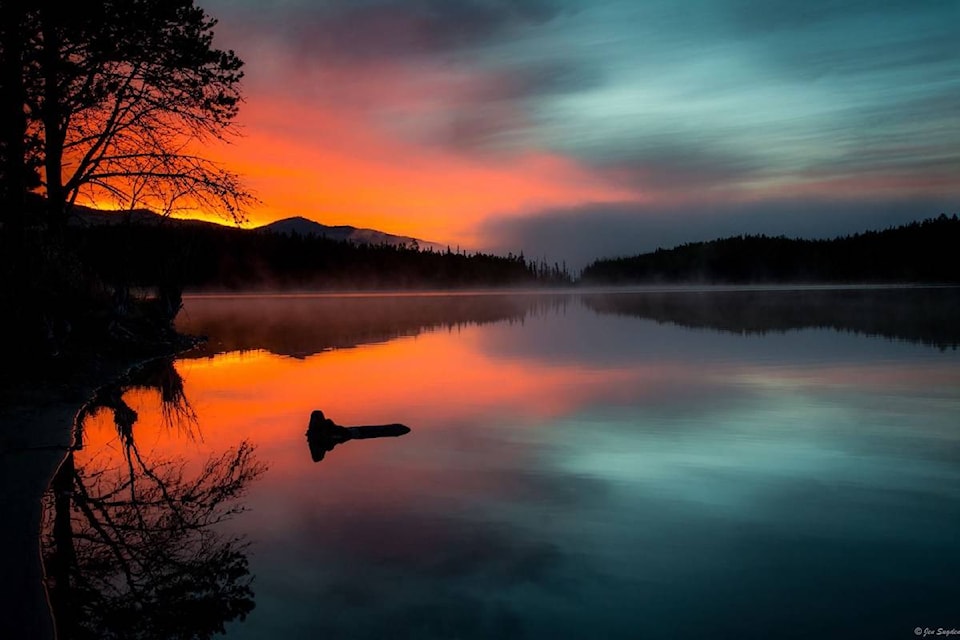
The water-body, a road-accessible lake south of Whitehorse near the B.C.-Yukon border, is described this way by the Yukon government: “The lake system is popular for canoe trips. Small bays, islands and peninsulas make it friendly for children and beginners.”
Lake goers are urged to check to current fishing regulations.
So, why military slang in Yukon place names? Soldiers invented a couple of terms in the Second World War referring to how, um, fouled up things can become. In polite language, SNAFU means “situation normal, all fouled up,” while TARFU means “things are really fouled up.”
Both words made their way onto the Yukon map in the early 1950s, shortly after the construction of the Atlin Road by the Canadian army engineers in 1949 and 1950. There’s a Snafu Creek, Snafu Lake and Tarfu Lake.
While planning your trip to Snafu Lake, be sure to check this website to find out about travel restrictions due to COVID-19. At the time this piece was posted, travel to Yukon was restricted to:
- Yukon residents;
- non-resident family members of Yukon residents;
- delivering a critical or essential service;
- transiting through Yukon to a neighbouring jurisdiction (24-hour limitation); or
- exercising an Aboriginal or treaty right (for the time needed to exercise the right).
Meanwhile, Snafu lake’s GPS coordinates are 60.131°N 133.823°W
- With files from Yukon News
——-
— Plan your future trips by viewing hundreds of great West Coast photos and articles at westcoasttraveller.com