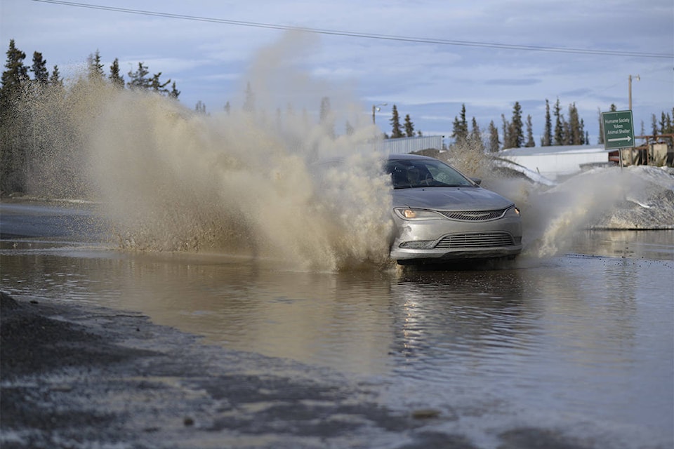
Spring-like temperatures in Whitehorse and the communities this week broke several daily record-high temperatures, Environment Canada confirmed.
On March 13 alone, Whitehorse, Carmacks, Faro and Teslin all broke record daily highs that were set in 2005. Whitehorse hit a high of 10.9 C (measured at the airport), beating the old record high of 9.9 C. Carmacks reached a high of 11.1 C, breaking the previous record of 10. 3 C, Faro hit 9 C, breaking the previous record of 8.6 C and Teslin had a high of 11.6 C, breaking the previous record of 7.5 C.
Environment Canada warning preparedness meteorologist Armel Castellan said a strong ridge of atmospheric pressure sitting over the western side of the continent has allowed warm air from the south to make its way up north, resulting in record temperatures across the Yukon and B.C.
However, the reprieve from the cold is not meant to last, Castellan said. The ridge is starting to move east, and with that, temperatures in the Yukon are expected to return to normal by early next week.
“Winter, so to speak, is not over,” he said. “I know you guys are more used to it than southern folks, but for sure, we’re going to start to see regular temperatures, and by regular, I mean normal for this time of year.”
The normal daytime high for this time of year is 0 C, with a normal low of -12 C.
Castellan noted that Whitehorse has had extreme temperature fluctuations this winter, with a warm spell in December, almost two weeks in January with daytime highs well above freezing and then, at the beginning of February, a cold snap with temperatures that plummeted almost as low as -40 C. Averaged out over the months, the overall temperature still fell within the normal seasonal range, but taken day-to-day, the fluctuations often reached record or near-record levels. December, January and February were also wetter than normal, with 75 millimetres of precipitation compared to the normal of 48 millimetres.
“I think there’s two stories there,” Castellan said. “There’s one that says, ‘It’s normal temperature for those three months…’ and then, when you look at the daily and certainly weekly scale, there’s where we saw some very cold and some very warm, so the cycles were quite a bit accentuated and that’s atypical.
“Those are things that are linked to how our climate is changing now and you guys being further north … it’s where this is being demonstrated or manifested earlier than it will in the south and perhaps even more extreme variations.”
Contact Jackie Hong at jackie.hong@yukon-news.com