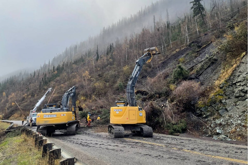
New monitoring equipment is detecting limited slope activity where at least 10 landslides recently rocked the North Klondike Highway.
Over the weekend, engineers from the Yukon’s department of Highways and Public works installed monitoring equipment between kilometres 693 and 696 to record slope movement.
“The monitoring devices are recording little to no movement and with the cooling temperatures, we’re hopeful the slopes are becoming increasingly stable,” Madison Guthrie, the department’s communications manager, said by email on Oct. 3.
“We will be exploring long-term mitigation measures such as barriers to help mitigate the impacts of future landslides at these sites.”
Sections of the road were initially closed after landslides triggered by heavy rainfall took place along the road starting on Sept. 22. Helicopters were used as an emergency measure to transport up to 40 people who were stuck between the road closures into the airport.
The highway has reopened to two-lane traffic between kilometres 666 and 674 as well as between kilometres 693 to 696 as debris is still getting cleared on Oct. 3.
Access between Henderson Corner and Rock Creek remains restricted. The road is only open between 8 a.m. to 8 p.m. from kilometres 693 to 696.
Contact Dana Hatherly at dana.hatherly@yukon-news.com