As the City of Whitehorse continues work on a Whitehorse South trail network plan, it is asking residents for feedback.
The city will host a drop-in charette to answer questions and get feedback on Sept. 2 from 4 p.m. to 6 p.m. at the Frank Slim Building in Shipyards Park, it was noted on the city’s website.
The Whitehorse South network includes trails in the neighbourhoods of McLean Lake, Canyon Crescent, Whitehorse Copper, Mount Sima, McRae, Fox Haven, Wolf Creek, Pine Ridge, Spruce Hill, Mary Lake, and Cowley Creek.
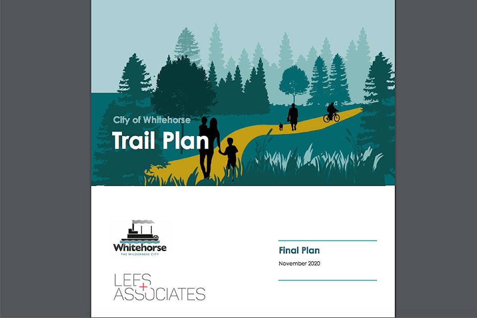
The 68-page Whitehorse Trail Plan, adopted in December 2020, features 30 actions for the city to take. The actions fall under seven themes of trail classifications, signage and wayfinding, education and etiquette, making connections, policies and procedures, management and maintenance, and stewardship.
Completing outstanding neighbourhood trail plans is one of the actions that fall under the theme of making connections. Whitehorse South and Whitehorse North are the remaining two areas that do not yet have neighbourhood trail plans completed.
Neighbourhood trail plans for east Yukon River (Riverdale, Long Lake Road areas), above the airport (Granger, Hillcrest, McIntyre, Copper Ridge, etc.), Crestview, and Porter Creek/Takhini/Whistle Bend/Range Point were completed in 2013, 2014 and 2016.
The work on the Whitehorse South plan will result in a trail plan map for the area which identifies and designates existing trails as well as any proposed new trails.
A draft map will be on display at the charette session with those attending invited to mark up the draft with their ideas.
Those who can’t make the meeting and have questions or ideas to share are invited to email trails@whitehorse.ca.
The city is asking those who send an email to write 2021 Whitehorse South in the subject line.
Following the charette, city staff will review the input gathered as well as the results of a survey done with Whitehorse South residents earlier this year to come up with a new trail map for the area.
It’s anticipated the map will come forward later in the fall after the Oct. 21 municipal election.
Contact Stephanie Waddell at stephanie.waddell@yukon-news.com