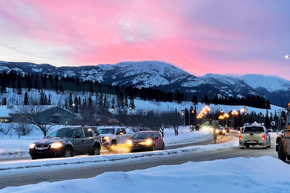
Snow surveys are showing a different story in the Yukon’s northern and southern halves when it comes to the snowpack that has accumulated. The March 1 Yukon Snow Survey Bulletin and Water Supply Forecast shows the snow accumulation in the southern half of the territory is close to or only slightly exceeding the average. Surveys conducted in the northern half of the territory, however, are above average.
The information in these bulletins is gleaned from long-term averages, monthly data and snow-depth and snow water equivalent observed at 52 locations in the Yukon as well as five locations in British Columbia or Alaska.
The river basins where near-average snowpack is being seen are the Upper Yukon, Teslin and Stewart basins. A below-average snowpack is being seen in the Alsek basin tucked in the Yukon’s southwest corner.
At more northern latitudes the Peel and Porcupine basins, as well as those draining into the central and lower reaches of the Yukon River, are seeing above-average snowfall. The report states that the most concentrated areas of high snowpack are in the White River basin and the areas adjacent to it that drain into the lower Yukon.
The other noteworthy trend the government’s March 9 report comments on is the high baseflow observed in many river systems in the territory. Baseflow is the sustained flow of water stored in a watershed down its streams and rivers without being driven by surface flow from recent rain or snow. The baseflows observed in the Yukon are thought to be an indication of groundwater levels that sit well above the average in many areas of the territory.
“This, combined with above-average snowpack, will lead to higher than average freshet volumes in Yukon lakes and rivers this spring. Higher groundwater levels combined with above-average snowpack also increases the risk of slope failures and localized runoff flooding in low-lying areas,” the notice reads.
This all adds up to a slightly above-average potential for flooding as the ice breaks up and the spring freshet swells the territory’s rivers. The March 9 report specified that the White River and lower Yukon River basins could expect above-average flooding potential.
Snow surveys of this kind are typically conducted in March, April and May each year, but an additional February survey was employed in February 2022.
This year, the snow is still falling and the government states that the April 1 snow pack survey typically indicates the peak snow depth.
According to a March 9 notice from the territorial government, this is the closest to normal levels that the snow pack has been in years. Following two years of exceptional winter snowfall, the government is reporting the lowest recorded snowpack for the start of March observed since 2019.
The March 2023 snowpack data varies significantly from the levels observed last year and the year before. In 2022 the basins with the least snowpack were measured at 130 per cent of the normal amount and some reached more than double the average.
Contact Jim Elliot at jim.elliot@yukon-news.com