Over the years, I have shouldered a heavy pack and explored parts of Kluane National Park, the Ruby Range north of Kluane Lake, the Dalton Trail, and even Tutshi Lake, before the Skagway Road was built.
But my most memorable hike was over the fabled Chilkoot Trail, later in my career. Having hiked to many isolated locations to visit and photograph abandoned historic sites, I thought that the Chilkoot would be too crowded and tame for my taste, but I soon changed my mind.
In July of 2001, I arranged to make the hike with my friend Bruce, who was coming to the Yukon to join his wife, Doris, in Dawson City. We paid close attention to the selection of gear and food that we would take with us. Bruce, being a scientist by profession, took an exacting approach, which was fine with me.
My aim was to keep my pack below 20 kilograms. The weight would decrease as the food was eaten up during the course of our hike.
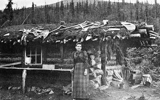
During the gold rush, thousands of expectant gold-seekers tramped over the Chilkoot Trail, 53 kilometres from Dyea, Alaska, to Bennett, British Columbia. Dyea had been nothing but a small village with Healey and Wilson’s trading post before the great stampede started. Within months of the announcement of the Klondike, it exploded in population.
Ocean freighters began disgorging tons of supplies, which were lightered ashore. A long dock was eventually built out to deeper water to simplify the process. The posts for the dock, sticking out of the intertidal mud flats, are about all that is left of this today.
Before we started on our hike, Karl Gurcke, historian for the U.S. Park Service, showed us around the historic site of Dyea, where little survives today to remind us of the hubbub of activity the place was during the gold rush.
We left the trailhead early in the morning in a light drizzle, which would persist until we reached the summit of the Chilkoot Pass. Damp and hypothermia can be constant companions on the Chilkoot Trail.
After the initial hill, the hike started off easily enough, with planked walkways over marshy ground. We hiked to Canyon City, where we set up camp and explored the remains of Canyon City with a couple of American visitors.
Little survives of the bustling tent city that was established here in 1898, except building foundations, a large stove, a massive steel boiler, and the collapsed remains of a log cabin.
Day two, we made a short hike to Sheep Camp, which is the last camping site before crossing the summit. We decided to go no farther until the next morning, to allow us an early start for the long hike that would follow.
The park rangers extended the professional courtesy of allowing us to share their bunkhouse so that we could make a faster departure in the morning. Ranger Tim showed us a nearby stand of tall cottonwood trees that had all been sheared off about eight metres above the ground from a recent avalanche. That was the depth of the snow at the time the frozen mass thundered down from the mountainside.
On Palm Sunday, April 3, 1898, after two months of incessant storms, and two metres of wet snow the day before, a huge avalanche crashed down upon the hapless stampeders who had foolishly disregarded warnings of pending danger. More than 60 people perished in the worst disaster of the Klondike Gold Rush.
There was no snow in sight, nor threat of avalanche as we plodded toward the summit in the early morning of day three in a steady light rain. Some distance up the trail we stopped to rest and heat up a pot of soup to fight off the chill. We then continued our steady climb up an increasingly steep grade toward the Scales, at the foot of the final ascent.
The “Golden Stairs” were where, during the gold rush, thousands of men repeatedly got into the continuous line of packers hauling their loads over the snow-packed summit. Thousands each hauled a ton of supplies in a series of steps along the trail, this point being the most challenging.
Instead of snow, we faced a barren boulder-strewn 30-degree climb to the summit. Nearing the base of the ascent, I faced my only physical problems during the hike. Straining under my heavy pack, I became dehydrated. My heart was racing and my strength was depleted. I never felt more like quitting, but a long drink of water and some trail mix took care of that problem.
To make matters worse, my stomach had began ominous rumblings. There was no place to go but up. Feeling the pressure building up in my digestive track, I assaulted the rocky face with an enthusiasm I hadn’t thought possible. With my goal looming before me, I clambered up the boulder covered slope. The historical remains lay all about on the trail as I neared the fog-shrouded peaks, but my focus was on the summit.
The dense mist was blowing almost horizontally over the cleft in the mountains. Finally, I reached the top. A crowd of hikers had accumulated in the warm-up shelter, but my target was located elsewhere. I threw my pack to the ground, hoping that my objective was not currently occupied.
With lightning speed I dashed for the tiny structure perched on an exposed rocky point. Fortune was with me; it was empty. As I settled down inside, just in the nick of time, I reflected upon the spectacular view that spread out to the north. Behind was rain and mist. On the Canadian side of the summit, the trail was bathed in sunshine.
Michael Gates is a Yukon historian and sometimes adventurer based in Whitehorse. His newest book, Dalton’s Gold Rush Trail, is now available. You can contact him at msgates@northwestel.net