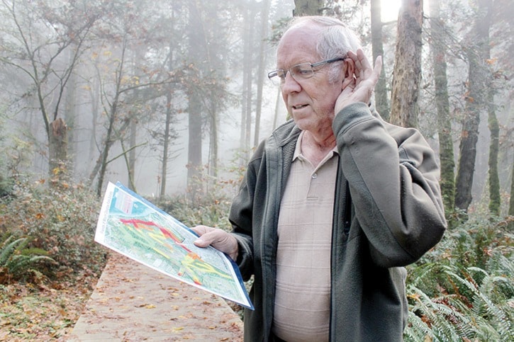
A new map is helping users of Mount Douglas Park find a little bit of peace and quiet.
The map, which is available online from the Mount Douglas Park Society, shows the manmade sound levels on every trail in the park, with colour coding to indicate everything from sweet silence to intrusive traffic noise.
The project started as a reaction to a transmitter site which was installed near the top of the mountain with air conditioning fans which caused a significant amount of racket. The District of Saanich fixed the machine but the incident prompted the group to start thinking about noise throughout the park and the importance of documenting its levels.
“Quiet is a positive attribute of the park and if you don’t document these things, you can’t preserve them,” said Darrell Wick, society president.
The first idea was to record decibel levels, but participants soon found out the noise from birds, wind through trees or other natural occurrences were often louder than the manmade noises.
It was then decided the best approach was a subjective one, so volunteers walked the trails of the park and every 50 feet wrote down the sounds level on a scale of zero to three, with zero being no manmade noise at all and three being the heavy sound of traffic.
The sound of airplanes was also noted, simply to keep track of how much air traffic the park sees.
As far as Wick knows this is the first soundscape map ever to be made of a park. Other groups in the United States have worked towards documenting sound levels in parks, often to document the influence of air traffic, but Wick has yet to find anyone using that information to make a map.
The map, which has the trails colour coded in either green, yellow, orange or red shows, will be a helpful tool for people who desire to get away from it all.
The north-west corner of the park, off of Cordova Bay Road, by Seaview Suites, is the most consistently quiet area, owing to a plateau which cuts the road off from the park. Other areas, such as the trail along Douglas Creek, are also "green" for good, as is the pocket between Little Mt. Douglas and Mt. Douglas.
Other areas, such as parts of the Whittaker Trail alongside Cedar Hill Road glare red for high traffic noise.
Wick hopes the information will be used by Saanich when considering development proposals near the park. Currently the group is encouraging the city to purchase a parcel of land near the quiet north-west area in the hopes of saving it from potentially noise-causing development.
“We feel this is an important aspect of the park, so when Saanich looks at development or zoning outside of the park we hope that they’ll take this into consideration,” Wick said. “Because it would be a shame to lose that value.”
To view the map visit mountdouglaspark.ca.
kwells@goldstreamgazette.com
More plans for Mount Doug
Other projects of the Mount Douglas Society in partnership with the District of Saanich are underway.
The inscribed boulder rock at the Churchill Drive entrance to the park has been re-scribed. An informational kiosk is set to be built by the end of the year at the same entrance.
Next year plans are to install the other half of the same boulder across the road from the one currently there and to put in a new gate. Speed deterrents are also planned for the beginning of Churchill Drive.