A few days ago, Tim Green , a history-hunting Porter Creek neighbour, asked me what I knew about an old Dawson wagon road that ran east of the current highway, circumventing a small pond called Stinky Lake. Stinky Lake gets its name from its sulphureous emissions.
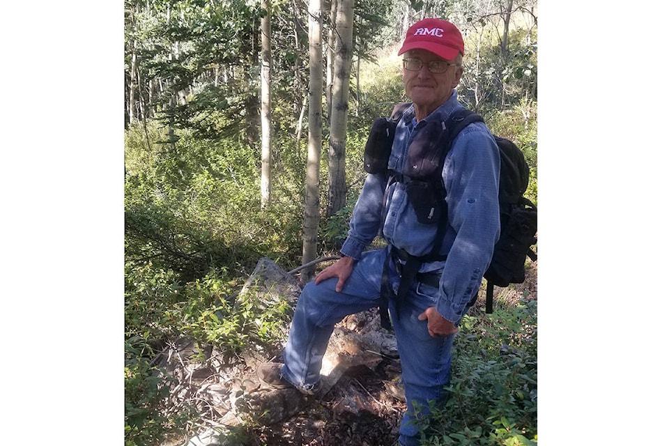
Tim is a retired engineer who spends a lot of time walking in the green spaces around Whitehorse. He tells me that he wants to walk “around the world” by adding up the distances he walks each day. He is getting close to achieving his goal. But he doesn’t just walk. He has a curious nature and wants to know about the features he encounters on these walks.
I didn’t know anything about this old wagon road. There are thousands of untold stories and untold places in the Yukon I haven’t seen yet. So, I asked him to take me along on one of his walks.
Tim found this old road on a 1909 geological map showing the Whitehorse Copper Belt. This route was apparently short-lived, replaced early in the 20th century by the route the Alaska Highway now follows through Rabbit’s Foot Canyon. He further speculates that this trail was primarily a winter trail, because the main means of summer transportation to Dawson City in the early days was by sternwheel riverboats.
My dog Casca and I met Tim at the top of Pine Street and we walked from there along the asphalt path that leads downhill behind the university to where it crosses McIntyre Creek; then we set off to the west, paralleling the creek for a short distance, before turning north into the brush, following a route that approximates the course shown in the 1909 map.
In places, we could see a straight, narrow opening through the trees that was easy to follow. Where the terrain and the vegetation changed, we lost the road. This was my first trek through this area, so I followed Tim, who is familiar with the conditions.
We skirted the southern perimeter of Stinky Lake to where there was a dirt trail leading away to the northwest. We climbed the hill above the lake, walked along the ridge to a lovely viewpoint looking south toward downtown Whitehorse, and then returned to our starting point on Pine Street. Total time: Three hours. But we didn’t just walk. Tim would stop here and there to point out features that I would have missed: survey markers, cut tree stumps, old claim posts, cut lines, the old roadbed, and in one instance, a derelict cabin.
We talked about what we were seeing. What was the vegetation like 120 years ago? I speculated that it was much more open than it is today. Do the tree stumps testify to logging that took place here years ago? Perhaps counting the growth rings on some of the standing trees would give us the age of the current forest.
Where we lost track of the old road, we pondered where it might have gone: did it go up that slope, or go around it? That raised questions about what grades a team of horses pulling a sled might be able to handle on a winter road.
Tim was well informed about the claim posts and markers. Lot 197, Group 5, the “Real Thing” mineral claim, was surveyed in 1910. Other more recent stakings are visible in the area. Claim posts dating 1916, 1975 and 2010 still survive, as well as Lot 437, surveyed in 1963.
The remains of the derelict log cabin are located high above Stinky Lake. What was its purpose? It’s too far from a source of water to make it a convenient long-term dwelling. There are rusting tin cans scattered about, but only a few. In cabins I have seen elsewhere, where there was continuous occupation, there were large middens of tin cans. Does that mean that this cabin was only used for a short time? The cabin logs are of substantial girth. I didn’t see any trees of this size during our walk. Could that suggest that this building was constructed a long time ago, before the area was logged?
More of these remnants may be explained in old government records, historical photographs, diaries, and newspaper articles. There may be Yukon residents who can explain some of the features found there today. And if anyone can throw light on what we saw, I would like to hear from you.
This area has had many human activities layered on it over the past 120 years. And that doesn’t even take into account the prehistoric archaeological remains in the area that push the human presence back thousands of years.
Tim Green has been meticulous in locating and identifying old trails, artifacts and features in the area of the “Real Thing” mineral claim, and along the Whitehorse Copper belt. He has plotted their locations and taken photographs that can now be seen on a website he has created called THEN (Timmit History Exploration Notebook).
This website, he explains, introduces you to places that are not very well known, but make for interesting hikes. The website also provides some context about each of the sites he has visited, and directions so you can visit them for yourself.
Location information in GPS format, and points of interest can be downloaded from his website onto your GPS so that you, too, can visit and enjoy what he has discovered. If you find errors with the material here on his website, have questions, or suggestions for future places to visit, you can contact him via the Contact section.
To visit the website that he has created, go to: https://then.timmit.ca
WARNING: Green includes a caution about visiting the Copper Belt sites. Many of those mentioned on his web page contain dangerous features, such as sinkholes, vertical shafts, and treacherous open pits. You don’t want to fall into one of these. For safety you won’t want to visit these sites alone. Children and pets will need to be carefully supervised near some of these sites. And don’t go into any of the old workings where there is the potential for poisonous gas or cave-ins.
Having noted these cautions, visiting these sites will make for some interesting and informative hikes.
Michael Gates is Yukon’s first Story Laureate. He is the author of six books of Yukon history. His latest book, “Dublin Gulch: A History of the Eagle Mine,” received the Axiom Business Book Award silver medal for corporate history. You can contact him at msgates@northwestel.net