Pull out the long johns and plug in the car: this cold snap is due to last until the end of the weekend.
“It’s sort of really sitting right on top of the Yukon at this point in time. So very, very cold temperatures up there,” said Brian Proctor, a meteorologist with Environment and Climate Change Canada.
“Wind chills coming up from time to time are making things even colder. That weather pattern is really going to hold too much of the next week moving into the weekend at this point in time,” he said.
Proctor said the La Niña phenomenon is responsible for the current cold weather system sitting on top of the territory.
While relatively warm air is over the Alaska Aleutian Islands, very cold weather that’s been dammed up over Siberia and the Arctic Ocean is coming down through eastern and western Alaska, the Yukon and the Northwest Territories.
On Jan. 4, Burwash Landing and Old Crow were the coldest places in Canada at -46.5 C in Burwash in the morning and -45.3 at the Old Crow airport in the afternoon. Lows in Whitehorse reached reach -40 C overnight on Jan. 5, with a windchill bringing the temperature down to -50 C.
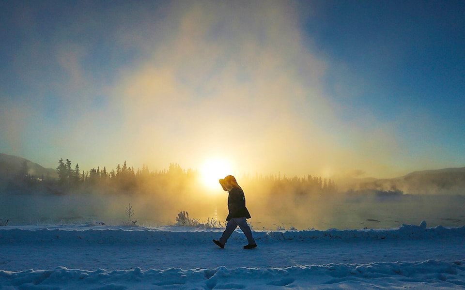
The upside is that a high-pressure weather system that produces extreme cold also usually brings sunshine. Whitehorse residents were treated to sunny weather on Jan. 4 and the clear skies are expected to last until it begins to warm up on Sunday night.
“Typically, because really cold temps come with high pressure so we’re not getting much clouds lower and everything dries out. It gets very cold, but typically very sunny.”
Beginning on Sunday evening, the cold system should begin to move east towards the Northwest Territories and Nunavut.
“On Monday, which is starting to approach more seasonal values. Typically this time of year, you see highs of -14 and lows of -22. So while we’re moderating things a little bit and it’s still going to be a little bit below normal, but it’ll seem much, much warmer,” said Proctor.
Until that time, Yukoners should be careful to bundle up. Environment Canada released several extreme cold warnings across the country on Jan. 4, noting “very cold wind chills” in addition to low temperatures.
The department urges everyone to cover up in order to avoid frostbite and keep emergency supplies in vehicles such as extra blankets and jumper cables.
“Overall we’ll see some respite next week. I’m still leery about how the pattern is looking through January to February, it still looks relatively cool. So I wouldn’t be surprised to see some extreme cold returning again as we move further into January,” said Proctor.
Contact Haley Ritchie at haley.ritchie@yukon-news.com