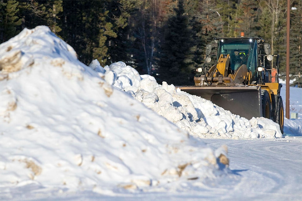
A winter storm warning in effect for some southernmost parts of the Yukon could translate into more heavy snow to plow.
“We’ve had a pretty snowy winter in the Yukon so far, and we’re definitely adding some more to it today and tonight,” Environment Canada meteorologist Brian Proctor told the News by phone. “That snow is going to intensify tonight, and then continue through much of the day on Friday.”
Environment Canada has issued a winter storm warning for Whitehorse, Watson Lake, Teslin and the Cassiar Mountain regions, including parts of Highway 97 and the Yellowhead Highway.
The online public alert indicates 20 to 30 cm of snow could fall by the weekend, although Proctor said some regions could see up to 50 cm within this 36- to 48-hour period.
“Some communities are likely going to see as much snow out of this storm as they’d typically see in the month of February,” he said.
That could increase the possibility of avalanches in the affected areas, Proctor said, as more precipitation falls on already high snow packed spots. He added this storm is part of an “active pattern” that is happening in the Yukon as significantly more snow has fallen than in previous years.
“The one thing it does do, the heavier winter snow packs — especially the snow that comes in the later portion of winter into early spring — can help reduce our forest fire risk as we move into the summer,” Proctor said. “So there’s one good news aspect to the story, but it’s very difficult conditions for people to have to put up with in the shorter term.”
A warm front from a low in the Gulf of Alaska will move into B.C. and the Yukon on Thursday before slowly moving east into Alberta.
With light snow starting Thursday expected to turn into heavier snow later in the afternoon, the national weather agency is predicting the snow will dwindle down into lighter flurries on Friday evening across the southeast Yukon and northern B.C.
In the online alert, Environment Canada advises travellers to postpone non-essential travel until conditions get better, with the chance of reduced visibility at times in heavy snow.
Contact Dana Hatherly at dana.hatherly@yukon-news.com