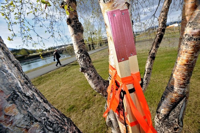
The territory has temporarily banned mineral staking on about three-quarters of the land within Whitehorse.
On Thursday, the Department of Energy, Mines and Resources released a map of the capital city showing the areas where quartz mining claims can no longer be staked.
Land west of Crestview, Copper Ridge and Wolf Creek is still open to hard-rock miners.
The five-year ban won’t put an end to conflict between miners and residents, however.
A 2012 map of active quartz claims in Whitehorse shows the majority of mining claims already staked in the city are inside the area that is now protected.
“The prohibition order doesn’t eliminate any existing rights,” said Brad Cathers, minister of Energy, Mines and Resources. “It’s aimed at preventing future potential conflicts. It’s really all about preserving existing rights but providing more protection for owners of private property and more protection for greenbelts, parks and other recreational uses. This provides more clarity.”
The ban is “better than nothing, but it’s not good enough,” Yukon’s New Democrats said Thursday. Most of the area still open to staking is identified as green space or environmentally sensitive, the Opposition said in a release Thursday afternoon.
They still want to see an end to free-entry staking all across the territory.
A Whitehorse ban was prioritized because the majority of Yukoners live in or around the capital, said Cathers.
His department initiated these talks with the city and is willing to meet with all municipalities interested in doing something similar, he added.
These more focused, local bans and plans have become a priority for the government since last fall’s election, said Cathers.
He listed work being done on zoning and area planning at Fox Lake, West Dawson, Marsh Lake, Carcross, Mendenhall, Mount Lorne, the Ibex Valley and the Mayo Road area.
In the meantime, regional land-use planning - which also decides how land will be used but on a broader scale - will remain on the back burner.
Those plans, which were promised in the territory’s First Nations’ final land claim and self-government agreements, are Ottawa’s to pay for, said Cathers.
And while he notes that population density is a reason to get local community planning done, he blames squabbles amongst southern First Nations about their borders as the cause for the regional process’s focus on the largely uninhabited North.
Contact Roxanne Stasyszyn at
roxannes@yukon-news.com