Residents of southern Yukon might want to empty their basements after the territory’s chief hydrologist predicted abnormally high water levels through the spring.
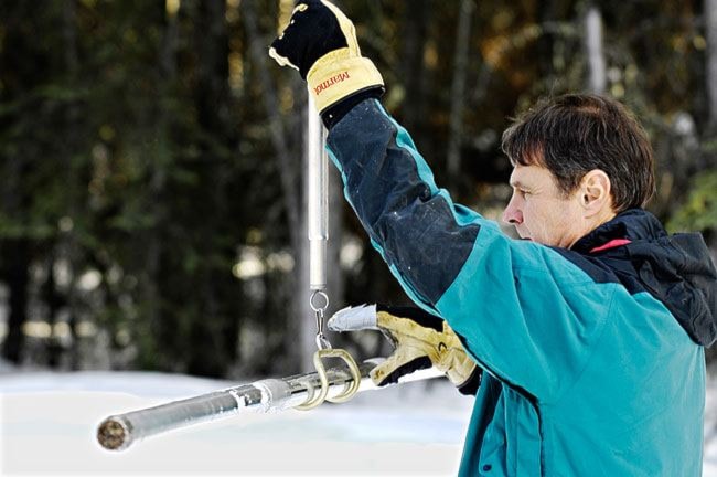
The Yukon’s first snowpack measurements, taken from watersheds across the territory on April 1, indicate a surge in water levels in the Liard and Alsek basins, as well as the White River, Beaver Creek and Whitehorse regions.
So far, only the unincorporated community of Upper Liard, whose snowpack is 161 per cent higher than normal, is predicted to flood in early June.
“The snowpack is a record-high snowpack up there,” said Richard Janowicz, the Department of Environment’s hydrology manager.
“If we have a really cold summer, where the snow melts off slowly, that would be the only thing that keep the water levels down,” he said. “But that is not likely to happen.”
Upper Liard sits on a vulnerable wedge of land between the Liard River and the Alaska Highway, just minutes west of Watson Lake.
The small community experienced severe flooding in 2007, resulting in $150,000 in damage to homes and property, according to residents.
Last spring, the community’s dike was reinforced with cubic-metre sandbags, known as superbags. However, the flooding cycle, which used to be 20 years, is now accelerating, say residents.
Not so, said Janowicz.
“The snowpack has not increased over the last 30 years,” he said. “The 2007 flood was the sixth- or seventh-highest flood on record, it certainly wasn’t anything phenomenal.”
After conducting a flood frequency analysis, Upper Liard residents should expect a flood every five to 10 years, he said.
“This is just a cycle and I think we’re at the top end of a cycle,” he said. “I would think that, in the next 10 years, we would have some lower winter precipitation.”
Climate change has increased temperatures in the Yukon, but precipitation patterns aren’t changing, he said.
The Emergency Measures Organization will monitor the Liard River’s rise throughout the next two months, and will determine whether the dike needs more work once the snow melts around it.
“(The flooding) is very dependent on how high and how fast the actual snowpack melts,” said Michael Templeton, the organization’s manager. “If we have a cooler spring, the waters might not come up as high or as fast.”
“We’re going to have fire crews examine (last year’s dike) this spring and see if it needs repairs (or reinforcements),” Templeton said.
Firefighters will examine the dike in early May, he said.
Flooding is caused by three factors: glacial melt, rainfall and snowpack melt respectively, said Janowicz. It’s easy to predict flooding in Upper Liard because snowmelt is the only factor in the watershed, he said.
“It’s totally a snowmelt-dominated system,” said Janowicz.
The 2007 flooding in the Southern Lakes region had more to do with glacial melt.
“Snowpack is actually the smallest contributing factor (to flooding),” he said.
Glacier-dominated water basins tend to flood more in the late summer.
“The summer temperatures are very important in dictating how much glacial melt there is in high elevation,” said Janowicz.
That’s why it’s too early to predict flooding in the Southern Lakes and Upper Yukon regions.
The Whitehorse area’s snowpack is 155 per cent its normal height, while the Alsek Basin is 158 per cent and the White River/Beaver Creek region came out at 165 per cent.
Another round of snowpack measurements will be taken around May 1.
Contact James Munson at
jamesm@yukon-news.com.