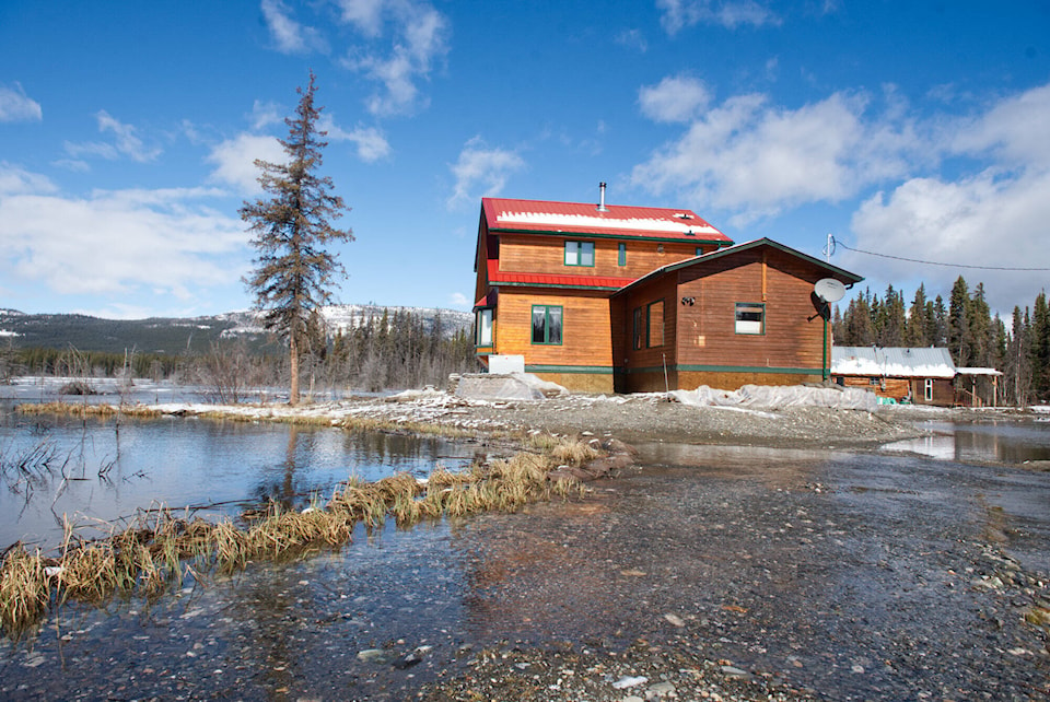
Flooding has returned to the McConnell Lake area.
Local resident Ross Smith said his home on his 28-hectre property was recently flooded.
“I dug a trench outside of my home to prevent the flooding and it kind of slowed it down,” he told the News. “This year, the snowpack was less compared to the last two years when we had heavy snow. But I’m still seeing flooding in my area. My neighbour’s house and property is under water.”
In recent years, three properties have been affected by flooding in the McConnell Lake area, according to Community Service information officer Julia Duchesne, who said the department is trying to determine the causes of localized flooding in the McConnell lake area and identify possible options for mitigations.
“We are aware of the situation and are monitoring it,” she said.
As part of the mitigation efforts for the flooding, the Yukon government commissioned Tetra Tech, a consulting and engineering services firm, to examine the situation using a variety of tools, including monitoring wells, mapping data, lidar survey and modeling.
The company’s work included completing a hydrotechnical assessment and proposing potential mitigation options designed to address the flooding issues near McConnell Lake at Annie Lake Road.
The specific scope of the study included completing a comprehensive review of the contributing watershed, developing hydrologic models based on available nearby hydrometric stations and building a hydraulic model based on the available lidar surveys.
Other efforts saw simulated freshet events to assess the extent of flooding under various return periods and identify, develop and simulate potential mitigation and diversion strategies under the 200-year flood.
In April, Tetra Tech completed the survey and delivered a report to the government, which is available online at Yukon.ca and has been shared with the Mt. Lorne Local Advisory Council (LAC).
Key among the recommendations of the study are that a geotechnical investigation should be conducted across the southern border of McConnell Lake, the floodplain, the valley towards Cowley Lake and — to some extent — the tributary catchment east of Klondike Highway.
“This will be vital to rationalizing infiltration parameters used to calibrate the model and develop justified flood mitigation strategies,” the report says.
Another important recommendation is that a field review of man-made water management infrastructure should be conducted.
The company says it suspects there exists undocumented or damaged culverts crossing the abandoned rail line or road embankments that could potentially assist with floodwater conveyance.
The final recommendation of the study is a field review during the freshet period to better “understand the freshet behavior, overland flow path, flood depth and flood extent will provide Tetra Tech another source of field observations to justify the model calibration after incorporating the above investigations.”
Duchesne said Community Services Minister Richard Mostyn and Energy, Mines and Resources Minister John Streicker met with McConnell Lake residents to review the report in early May. Engineers from Tetra Tech provided a briefing at the time.
“Ultimately, Tetra Tech concluded that most of the flooding issues are likely caused by groundwater and surface water interactions, but further study is needed before potential mitigation approaches could be proposed,” she explained. “We are contracting a local engineering firm to do further study.”
When the News asked what the next steps are, she said Community Services is reviewing the report and has not yet determined next steps.
“But we will continue working with the LAC and residents to find answers, establish options and figure out a way forward,” she said.
The territorial government is currently working on an official flood mapping project that will help inform zoning, she said.
Information on flood mapping can be found on the Flood Atlas at https://flood-atlas.service.yukon.ca/.
Contact Patrick Egwu at patrick.egwu@yukon-news.com