Flooding will be more likely if there is a sudden switch to warmer temperatures between now and mid-June, as well as widespread rain.
“We know that the flood potential is there,” said senior hydrologist Holly Goulding of the Department of Environment.
“We just continue to be vigilant, monitoring-ready and communicating regularly with our emergency response partners as we proceed.”
The timing, severity and location of any potential flooding will depend on how spring and summer weather conditions unfold, according to the latest update from the Yukon government’s water resource branch.
The third and final snow survey bulletin and water supply forecast of the year signals a delayed onset of snowmelt due to historically high snowfall throughout winter and a cooler-than-average April.
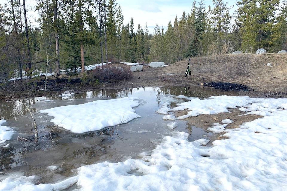
A flood watch ended May 12 for the Pelly River at Ross River, where an ice jam had formed downstream of town, the Yukon Emergency Measures Organization said in a notice.
Flood watches are issued when river or lake levels are going up and will approach or may breach the banks, while areas beside the affected bodies of water may flood.
READ MORE: 300,000 sandbags ready to go in Yukon but ‘too soon to sound the alarm’
Last month brought a break in precipitation to much of the territory, with relatively colder, drier Arctic air offset by longer days and solar warming, according to the May 1 bulletin.
In the bulletin, Dawson City, Carcross and Whitehorse were among communities that were the exception to the break, as 2.5 times the climatic normal fell mostly as snow and rain later in the month.
The snowpack levels tracked in many of the basins the territory monitors on May 1 continued to set records across the Yukon and create a high potential for snowmelt-driven flooding, as previously reported by the News following the March and April bulletins.
“Having a lot of snow on the ground on May 1 means that we still have a lot of snow to melt,” Goulding said.
READ MORE: Record snowpack signals ‘very high’ flood potential in the Yukon
The late initiation of thawing could change rapidly in the coming weeks.
Goulding said the near- and medium-term weather forecast is calling for seasonal temperatures paired with some local and isolated showers and thundershowers across the territory.
Higher temperatures in the high teens and low 20s could mean rapid snowmelt and quickly rising water levels, she explained.
Gradual, progressive warming and limited precipitation in the coming weeks will reduce the flood risk.
The elevated risk for flooding of the Klondike and Yukon rivers around Dawson City due to ice jamming during breakup has subsided for now, according to the ice breakup forecast posted May 9 to Facebook by Tr’ondëk Hwëch’in Government and Dawson City mayor Bill Kendrick.
Contact Dana Hatherly at dana.hatherly@yukon-news.com