The mining industry has a problem. How do you figure out exactly what is underground before you go to the trouble of digging it up?
Icefield Tools Corp., a Whitehorse-based company, delivers very specific technology to help answer that question.
Borehole drilling is a common method for mineral exploration. You drill down into the ground, pull out samples, and have a look at what’s inside.
It’s simple in theory, but imprecise in practice.
That’s because when you attempt to drill straight down, the hole does not end up perfectly straight.
Because of different hardness and densities of layers of rock, the drill hole will tend to curl slightly as it descends.
Deviations of 15 per cent are common, said Emmanuel Potvin, an engineer with Icefield Tools.
That means that if you dig 300 metres down, the lower end of the hole might be 45 metres in any direction from where you started.
That’s a big difference, when you’re trying to develop a very precise map of mineral resources underground.
It’s a problem that prospectors have been trying to solve for nearly a century, said Potvin.
“Some of the earlier technologies, they’d put acid inside of a glass vial and you’d sit there for a while and etch a line into the glass tube, and you could tell what inclination the hole is at.”
When it comes to the oil and gas industry, knowing exactly where your drill has ended up is perhaps even more crucial.
Many oil and gas operations these days use directional drilling - meaning that the direction of the hole changes.
For example, a hole might go down several hundred metres and then turn and continue horizontally to better access oil and gas reserves in a stratum of rock.
You have to know where your drill is in order to send it where you want it to go, said Potvin.
And that’s where Icefield Tools comes in.
Their tools are essentially probes with sensors in them that can be lowered into boreholes. Measurements are taken at regular intervals, and the resulting data allows surveyors to figure out exactly where the drill actually went, as opposed to where it was supposed to go.
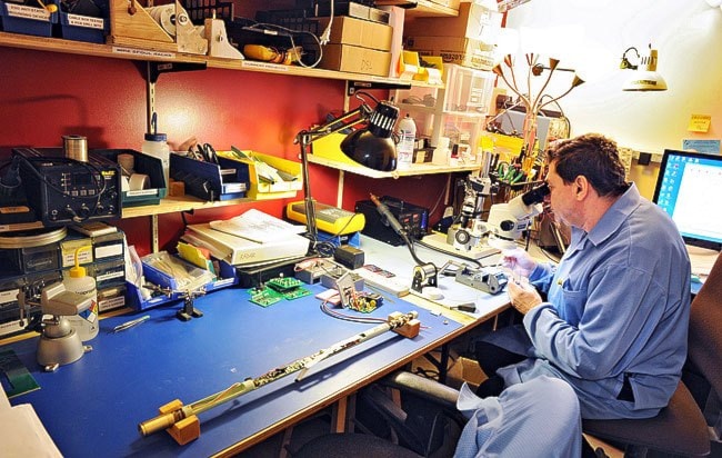
There’s a lot of tech packed into the one-metre long, 2.5-centimetre wide probes.
Inside the Gyro Shot, Icefield’s top-of-the-line tool, there is a gyroscopic sensor that measures the rotation of the instrument, an accelerometer that measures the angle, a magnetometer that works like an electronic compass, and a computer processing unit that controls everything and collects the data.
A significant portion of the length is taken up by the six AA batteries that power the whole thing.
The company also offers a variety of casings and running gear that allow the tool to be used for different applications. For example, a pressure barrel protects the instrument at high pressures found deep underground. Or, a centralizer will make sure that the tool rests in the centre of the borehole, rather than resting to one side.
After pulling the tool back out of the hole, the data can be downloaded and interpreted.
Soon, Icefield hopes to offer real-time data, so that the position of the tool can be seen above-ground as the measurements are being taken.
Time is money in the exploration business, especially here in the North where the season is short.
And for oil and gas operations, the technology will allow quicker decision-making when the direction of the drilling needs to change.
The Yukon Research Centre’s cold climate innovation program has partnered with Icefield Tools to make this a reality.
Three additional pieces of technology are required to make this happen, said Potvin.
There must be a piece of equipment attached to the tool itself, which will help communicate to the surface. That data would be then wired to an electronic box up top, which would collect and interpret the data. Finally, there would have to be a user interface with computer software allowing prospectors to see what is happening below the surface in real time.
The prototype is expected to be ready for testing in January of 2014, and presented to the public in the spring.
Icefield Tools already serves customers in the United States, South America, the Middle East and beyond, said Potvin.
It is the company’s hope that the addition of real-time technology will expand its reach further, especially in the oil and gas sector, he said.
Contact Jacqueline Ronson at
jronson@yukon-news.com