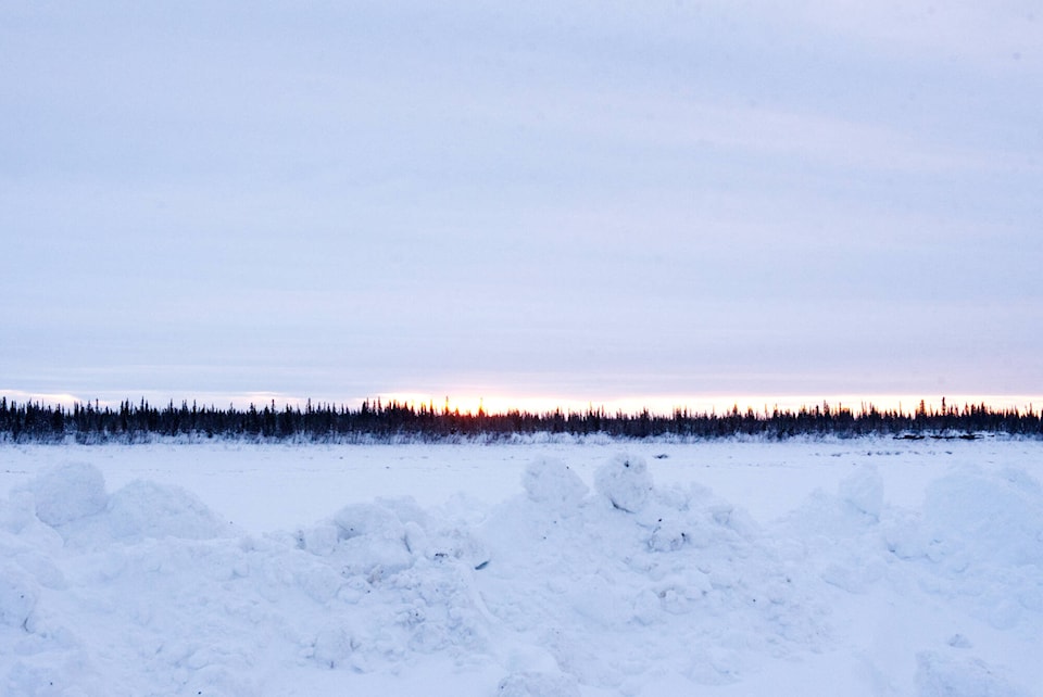
The midwinter break from frigid temperatures last month proved to be record-breaking for one of the territory’s communities and well outside the ordinary for others.
Environment Canada confirmed that Old Crow is coming out of its warmest January since records were first kept there in 1952. The Arctic community saw an average temperature for January 2023 of -20.7 C, more than eight degrees warmer than the normal average of -29.2 C for the month. The previous warmth record was in 2001 with a -21.1 C average. January 1971 saw an average temperature of -41.6 C for the month, the coldest recorded there.
It was an unusually warm month everywhere in the territory. Watson Lake had its second-warmest January ever recorded. It was also the fourth-warmest January ever for Dawson and the sixth warmest for Whitehorse.
Nine daily maximum temperature records in the territory also fell in January, mostly during the last 10 days of the month. The records were for weather stations in Burwash Landing, Carmacks, Faro, Kluane Lake, Teslin and Watson Lake.
The month may have been warmer than normal across the Yukon, but the precipitation charts read much differently depending on what part of the territory they were recorded in. Watson Lake, Dawson and Old Crow all experienced wetter than normal Januaries. Dawson’s weather station recorded 288 per cent of the normal precipitation for the month.
Faro’s weather station recorded 69.9 per cent of the normal precipitation for January and Whitehorse had an extremely dry month with only 20.2 per cent of the average January precipitation.
Armel Castellan, a warning preparedness meteorologist with Environment Canada, said another warming trend is on the way for early February, but this one is unlikely to deviate far from statistical average temperatures.
Castellan said that one possible model for the weather outlook for late next week shows a return to temperatures of -25 C or colder but he noted that this can’t be predicted with much confidence yet.
The meteorologist said that an atmospheric river event bringing warmth and moisture from a subtropical origin to more northern latitudes is at least a part of the cause. He said these weather events, usually associated with heavy precipitation, can reach the North American coast as many as 30 times during the stormy months.
Because the Yukon is shielded from these coastal storms by the towering St. Elias Mountain Range, Castellan said the atmospheric rivers sometimes produce a warming and drying effect, especially in the southern and western reaches of the territory. He said that this relies on the atmospheric river being weak or transient noting that the strong ones can make it up over the mountains.
Castellan said Environment Canada has heard stories from First Nations elders about massive winter storms that spread freezing rain as far east as the Northwest Territories with detrimental effects on the caribou migration.
Contact Jim Elliot at jim.elliot@yukon-news.com